New summer, new long-distance hike! This year we walked the Via Francigena in Emilia-Romagna, from the Po River to the Cisa Pass. The length of this section is 143 km, and it can easily be hiked in one week. Here’s all you need to know!
An excerpt of this article was published on the e-magazine Unforgettable Experiences #InEmiliaRomagna – you can download it here!
Together with the Camino de Santiago, the Via Francigena is Europe’s best known long-distance pilgrimage trail. It stretches from Canterbury to Rome, travelling the length of France, cutting across Switzerland and half of Italy, before ending in St. Peter’s Square.
Covering the entirety of the Via Francigena takes two months or more, depending on your fitness and on how many times you stop. You can still find traditional ‘thru-hikers’ walking the whole thing, but the Via Francigena also lends itself to being hiked a little at a time.
Many pilgrims dedicate a week or two each year to covering this ancient trail, taking their time to discover historical and natural points of interest found along the trail. This is exactly what we did – starting with the section of the Via Francigena in Emilia-Romagna, 143 km long.
We’ll be back to keep going through Tuscany and Lazio all the way to Rome, but for now, here’s our Via Francigena in Emilia-Romagna report!
Click below to jump to the relevant section!
When to Hike the Via Francigena
Via Francigena History
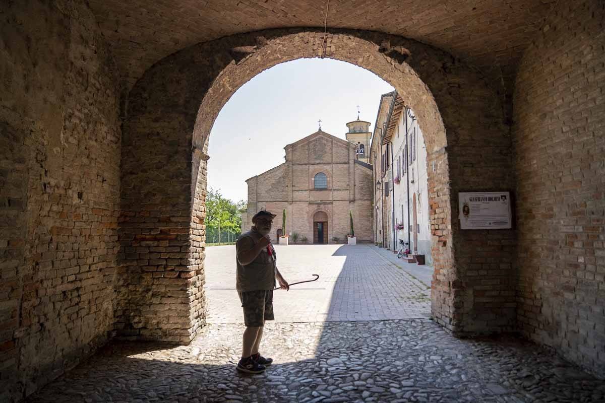
The ‘Francigena’ in the trail name may sound like France, and indeed the route crosses modern-day France, but when the pilgrimage route was established in the Middle Ages, the Frankish Kingdom also extended over half of what today is Italy, plus Belgium, the Netherlands and Western Germany.
The first recorded chronicle of the route dates back to the year 990, when Archbishop of Canterbury Sigeric travelled to Rome to receive the pallium (investiture) from the Pope. He recorded his journey back, de Roma usque ad Mare (from Rome to the sea, meaning the English Channel) including a number of submansiones, or stops, allowing us to retrace his journey precisely.
Sigeric’s account forms the base for what the Via Francigena is today. Thousands of pilgrims followed his footsteps for centuries, and more chronicles were written, some of which survive to this day. The golden age of pilgrimage lasted more than five centuries from Sigeric’s journey, all through the Middle Ages. Hostels and rest points sprung up all the way along the Via Francigena, as pilgrims received free rooms and board.
Pilgrim number decreased drastically after the Renaissance, before rising again in the mid-20th century. Naturally, modern pilgrims are a completely different breed from their Middle Age counterparts, covering trails for leisure or personal interest rather than religious reasons.
The route of the Via Francigena also changed throughout the centuries. Sigeric’s walked along Roman roads like the Via Emilia, which nowadays is a busy state road. Local volunteer groups worked hard to create alternatives to busy roads, allowing pilgrims to walk through country lanes, mule tracks, and B-roads with little traffic.
When to Hike the Via Francigena
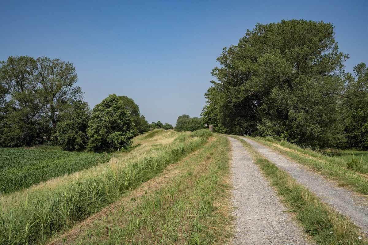
The Via Francigena in Emilia-Romagna can be hiked year round, but we highly recommend avoiding the hot summer months, as there is very little shade in the first two or three stages in the Po Valley. When we hiked in June 2019, daytime temperatures exceeded 35°C during the hottest part of the day, and on the week after our visit, they reached 41°C.
Also, the trail reaches the second-highest point in its entirety on the summit of Monte Valoria (1229 meters) before descending onto the Cisa Pass (1041 meters). It’s cold and rainy in winter, and snow is not uncommon. The hostel at the Cisa Pass closes in October, so hiking in the winter months may also prove hard from a logistical point of view.
We recommend hiking the Via Francigena in spring, early summer or autumn. I know that predicting the weather nowadays is near on impossible, but we recommend keeping an eye on the weather forecast and making sure to avoid hiking in the hottest part of the day if it’s very hot.
If there are chances of severe thunderstorms, make sure you have a plan B and consider a rest day or skipping a stage. Hail can cause severe damage, and there’s little shelter during many stages.
What to Pack
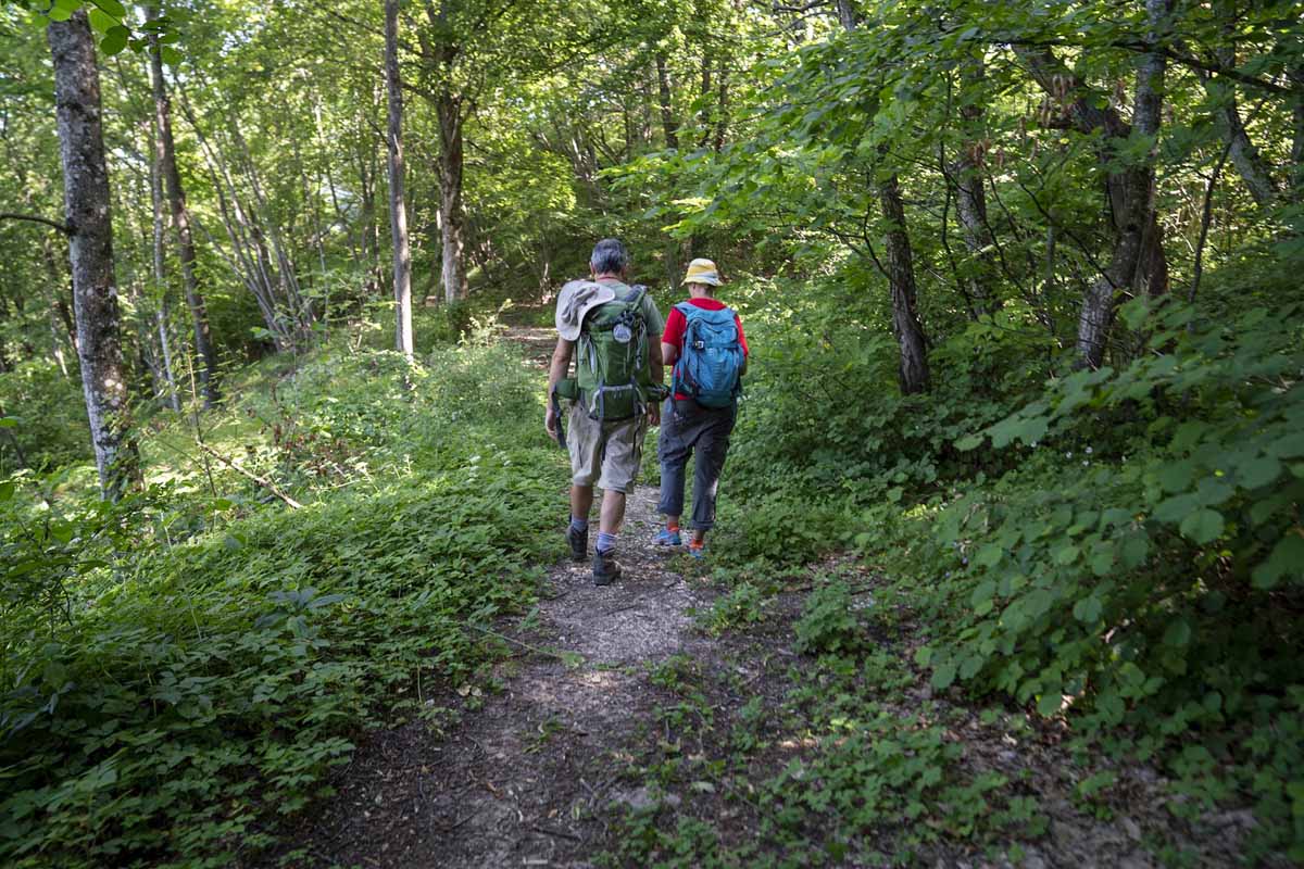
We always like to direct people to our long-distance hiking packing list for info on what to pack for something like the Via Francigena. Consider that camping equipment is not needed, as there are plenty of places to stay all along the trail.
Backpack
We recommend using a good hiking backpack – normally we use our Osprey Kyte 46 (me) and Osprey Kestrel 48 (Nick). We prefer using trail shoes to hiking boots, and since the Via Francigena section we hiked was mainly flat, there was really no need for ankle support. Running shoes also would have been fine, but if you’re heading further into Tuscany, you may want some extra support.
Pilgrim’s Credential
Also, make sure you don’t forget your Pilgrim’s Credential! This small piece of paper allows you to access hostels, get discounted meals, and take advantage of a 10% discount on regional trains all over Italy.
You can order it online, fill it in with your personal details, and start collecting stamps – from churches, tourist information offices, and hostels you stay at. It will be a cool souvenir of your Via Francigena experience!
Fitness
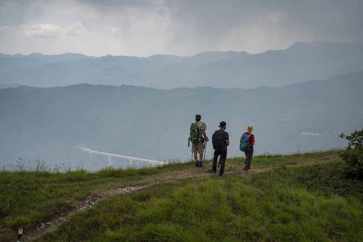
Technically speaking, the Via Francigena in Emilia-Romagna is fairly easy, and can be covered by anyone in decent physical conditions. We even saw an older man, about 75 years old, hiking solo carrying his own pack.
The length of the Emilia-Romagna section of the Via Francigena is 143 km, divided in sections ranging from 17 to 34 km. It is also possible to hike more or less pretty much each day, as there are always options to stop mid-stage.
The first part of the trail, from the Po River to the city of Fidenza, is completely flat, and stages are about 20/25 km long. From Fidenza onwards you’ll encounter some hills, and the only ‘real’ climb is from Berceto to the Cisa Pass, on the very last day. If you’ve hiked the Camino, or hiked in the Dolomites, you’ll think this is a walk in the park.
If you fancy something more challenging, why not opt for the ‘mountain variant’ of the Via Francigena? Check out our full report on the Via degli Abati!
Via Francigena Orientation
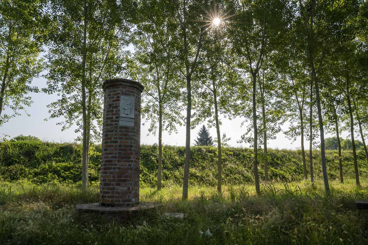
Like the Camino, Via degli Abati and pretty much any long-distance trail I’ve ever walked, the Via Francigena also has its very own logo and set of signs. You’ll find a mixture of red/white and brown signs pointing the way, with a pilgrim silhouette.
Signs may be proper metal ones on a pole, but you may also find them painted on rocks, or as stickers on street signs.
If you’re an ‘app person’, ViewRanger has some freely available GPX tracks of all stages of the Via Francigena – in Emilia-Romagna and in other regions. Those who prefer guidebooks can pick up the Via Francigena Guide by Terre di Mezzo online, or in bookstores all over Italy.
Dangers & Annoyances
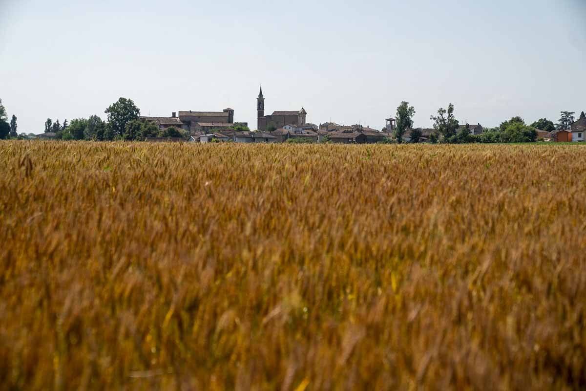
The Via Francigena in Emilia-Romagna doesn’t present much in terms of dangers. I would recommend being careful with the heat if you’re hiking in summer, and making sure you always carry enough water on you.
You should also pay attention to the traffic when walking alongside busy roads. If possible, make sure to always follow the signs leading you to minor roads. Trail volunteers spend a long time creating variants to avoid traffic, and told me that for some strange reason, many pilgrims tend to walk alongside busy roads like the Via Emilia, presumably because it’s faster.
Don’t forget that even though the Via Francigena is technically a ‘pilgrimage’, it should be fun! Walking along a state road in the heat can’t be enjoyable, right?
Accommodation
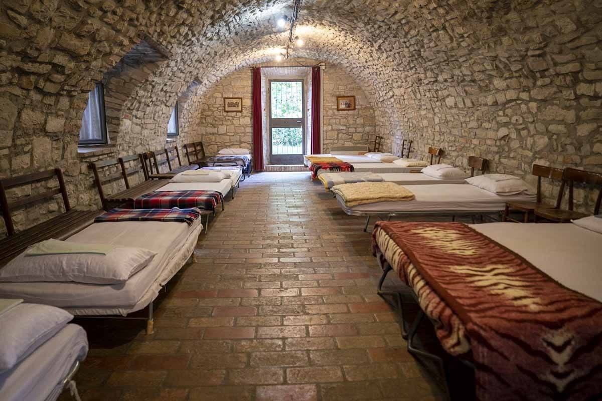
Good news! The Via Francigena in Emilia-Romagna is budget friendly! At the end of all stages you’ll have the chance to stay in an ostello (hostel), basically the equivalent of albergues on the Camino, usually offering accommodation in dorm rooms with shared kitchen and toilet facilities.
Hostels along the Via Francigena range from bare bones, to really charming – an example is Ostello Santa Margherita in Sivizzano, with a vaulted stone roof, and the Ostello Passo Cisa, in a reconverted roadman’s house.
Prices for a dorm bed range between €10 and €15 per night, plus around €3 to use the kitchen. Some hostels are donation-based – please leave the same as you would pay in a regular hostel, don’t treat it like a ‘free stay’. Staying in hostels is part the experience along trails like the Via Francigena – at the end of the day, it’s fun to meet fellow pilgrims and share the day’s experiences.
However, we understand some of you may like a little more privacy. All along the route you will also find small hotels and B&B offering discounted rates to pilgrims, charging around €25-30 per person – you can find a full list of accommodation along the Via Francigena here.
Food & Water
Hotels and B&B will normally include breakfast, and if you are staying in hostels you can make your own breakfast in the shared kitchen. Don’t forget that in Italy (Emilia-Romagna included!) breakfast is an understated affair including coffee, a croissant or bread, butter and jam. If you stop at a café and order eggs and bacon you’ll be laughed at.
Along the trail, sometimes you’ll find cafés and trattorie (small restaurants) where you can have lunch, or you can take a packed lunch. In the evening, try to find a place offering menu del pellegrino (pilgrim’s menu), a hearty set menu including two or three courses, water, wine, and coffee, for about €13-15. Not all restaurants offer that, your best bet will be asking your accommodation.
Many towns and villages you’ll be walking through have at least one public water fountain. Alternatively, you may ask cafés along the trail to fill your water bottle, but try to buy at least a coffee or something else from them.
Would you like to know about another amazing long-distance hike in Emilia-Romagna? Check our guide to hiking and cycling Dante’s Way!
Via Francigena Trail Guide
Day 1 – Po River to Piacenza
Distance: 14 km (3.5 hours walk, plus one hour for the Transitum Padi)
Where we stayed: B&B Palazzo Malaspina

The Emilia-Romagna section of the Via Francigena starts with the Transitum Padi, the ferry crossing of the Po – which also happens to be the largest river in Italy. You can also travel by train directly to Piacenza, and start hiking from there, but you would be missing out on a really cool experience.
There were boatmen ferrying pilgrims across the Po for centuries, but this came to an end with the advent of roads and railways. In 1998, a local man called Danilo received a ‘calling’ – his destiny was to become the new Po ferryman. He bought a boat and started ferrying pilgrims from Corte S. Andrea, on the Lombardia shore, to Soprarivo, in Emilia-Romagna.
These are the exact locations where Sigeric himself crossed, back in 990 AD. Danilo became a kind of celebrity, and 20 years later he’s still ferrying pilgrims across the river, on a brand-new boat.
You need to ring Danilo a couple of days ahead on +39 0523 771607 to make sure he’s free and double check crossing times. He charges pilgrims €10 each for the crossing.
The Po is wide and calm, making sailing a smooth, pleasant experience. You may see some waterbirds, but more than likely Danilo will entertain you with banter. He speaks little English, but he’s that kind of person who can make himself understood in all languages.
After crossing, Danilo may invite you to sit down in his garden and fill his ‘Pilgrim’s Book’, sharing some tales about his time on the river. Then, it’s time to hit the Via Francigena! Piacenza is 14 km away, and hiking time is about 3.5 hours.
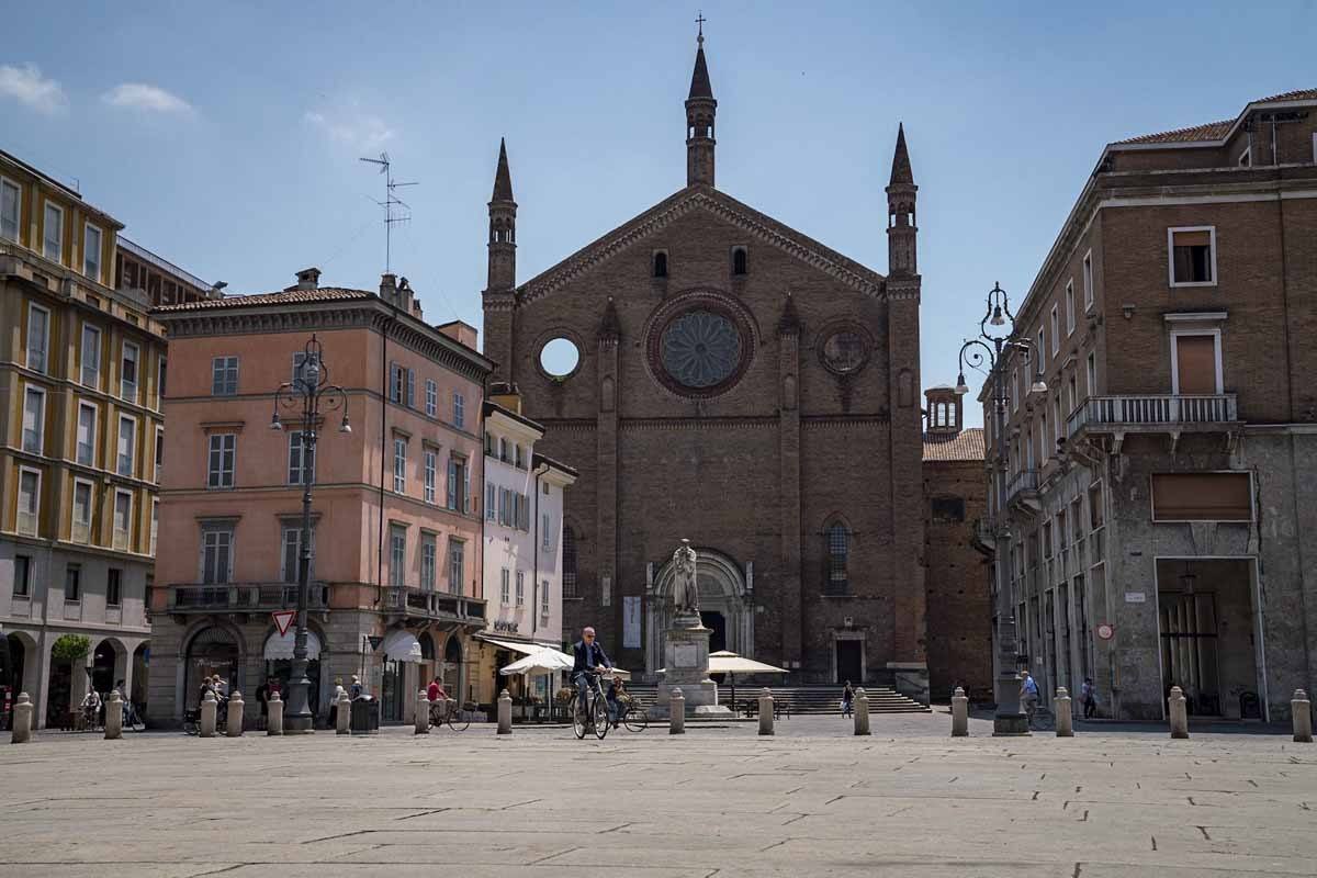
Follow the unpaved road on Po river bank all the way until the turn off for Calendasco, a village about 40 minutes away. This is the most pleasant part of the day – the riverbank is flat, there’s some shade (not much, but some) and no cars. A breeze may blow, and you’ll hear birdsong all around you.
In Calendasco, it’s a good idea to stop for a little break and a cool drink. Afterwards, keep following the Via Francigena trail markers leading you down a minor country road, through the villages of Incrociata, Cotrebbia Nuova, and Malpaga.
Then, you’ll be walking down a mixture of paved roads and walking/bicycle tracks until the bridge over the River Trebbia, past which you’ll have reached the outskirts of Piacenza.
The way in (and out) of Piacenza is probably the least pleasant part of the Via Francigena in Emilia-Romagna. You’ll be following a busy provincial road, surrounded by nondescript buildings and heavy traffic. Just focus on getting to Piacenza as quickly as possible.
Since this stage isn’t that long, you’ll have time to visit Piacenza! The main sights in the city include Palazzo Farnese and Piacenza’s ‘100 Churches’ – especially San Savino Church with its medieval mosaics. A Piacenza-focused post is in the works, so watch this space!
Alternatively, if you’re cash-strapped, you can hike all way through Piacenza and a further 5 km to Montale, where you’ll find a pilgrim hostel.
Day 2 – Piacenza to Fiorenzuola
Distance: 31 km (7 hours walk)
Where we stayed: Hotel Mathis
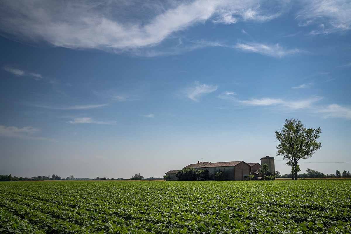
The way out of Piacenza is not dissimilar to the way in – most of the trail runs alongside the Via Emilia, and it’s flat, busy, lined with shopping malls and industrial warehouses.
From the town of Pontenure onwards, the trail leaves the Via Emilia and weaves through the countryside, bordering corn, wheat, and vegetable fields. You’ll be moving from one little road to another – not exactly following a straight line, but avoiding busy roads.
This is the Po Valley at its very best, flat and dusty, with crumbling brick farmhouses and near-abandoned villages. The main point of interest encountered during this stage is Paderna Castle, opened during weekends, a great example of Medieval architecture with some Renaissance additions.
Then, keep following the signs all the way to Chero, where you can stop for lunch if you wish. We were allowed to seat at the outdoor tables of Osteria del Viandante and eat our packed lunch, provided we ordered drinks from the restaurant. From there, you’ll have less than 10 km to Fiorenzuola d’Arda, the end of the second Emilia-Romagna stage.

The trail continues down minor country roads surrounded by fields and farms, and in summer it gets incredibly hot. You’ll be very happy once you get to the Chiavenna stream, where you can enjoy some shade. A series of rocks placed by local volunteers Daniela and Andrea will allow you to cross the river with ease, with no need to remove shoes and socks.
After the crossing, you’ll be about an hour away from Fiorenzuola, where the second stage ends. Take time to visit the Collegiata Church in the main square – can you find the 13th century fresco depicting a pilgrim?
Day 3 – Fiorenzuola to Fidenza
Distance: 22.3 km (5 hours walk)
Where we stayed: Hotel Due Spade
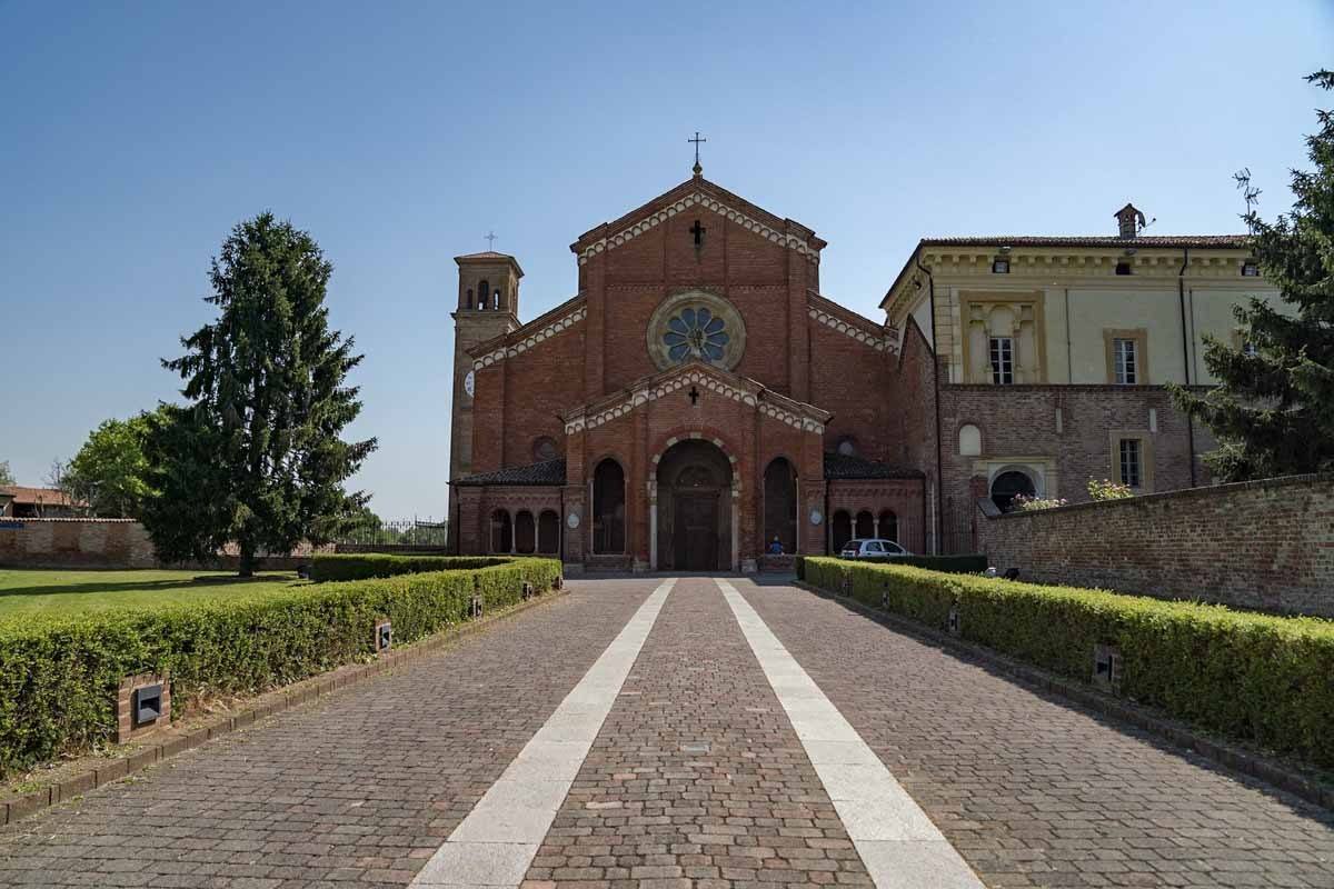
Even though this is marked as an ‘easy’ stage, we found it extremely hard, due to the scorching heat and the fact there was absolutely no shade.
The first 6 km are your typical Po Valley hiking – flat and rural, down small streets. Then, we reached Chiaravalle della Colomba, a Romanesque style working monastery, very austere and with little decoration inside. Monks and local ladies were preparing the ‘infiorata’, decorating the church with flower carpets in honour of Corpus Domini.
Take some time to visit the cloister and capitol room, and don’t miss the little sacristy with 14th century frescoes. You can also visit the small monastery shop, where monks sell home-brewed liqueur, sweets and herbal remedies.
Leaving the monastery behind, the trail heads deep into the countryside, avoiding busy roads. You’ll be walking along endless wheat and corn fields, until you get to an unpaved road, about 2 km long, lined with mulberry trees. Enjoy the shade!
The mulberry avenue will lead you past Massimo and Claudia’s lovely home – it’s the brick house with signs marking distances to other spots on the Via Francigena. Massimo and Claudia are unofficial Trail’s Angels, Via Francigena aficionados who welcome pilgrims in their garden for some rest and a cold drink.
The final stretch was the hardest. The heat was intolerable, shade was non existent, and you’ll just have to keep going all the way to Castione Marchesi, where you can visit a small Romanesque church, and then power on to Fidenza. You’ll have to cross a couple of bridges over a motorway, and then two tunnels under railway lines before you reach the centre.
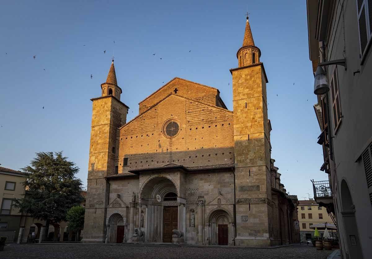
In Fidenza, make sure you stop at the headquarters of the Via Francigena association in Torre Cremonini, right opposite the cathedral. You can have your credential stamp and even pick up some Via Francigena souvenirs.
The Cathedral is also worth visiting, both inside and outside. It is dedicated to Saint Domninus, whose life is described in bas-relief on the façade – he was martyred by beheading and according to legend, he picked up his severed head, crossed a river, and placed on the future site of the cathedral.
If you can spare some time, don’t forget to check out the Museo Diocesano, housing artworks and precious objects owned by the church, like a chalice including a tooth of Saint Domninus. Part of the museum is located in the matroneo, the terrace overlooking the main nave of the cathedral – it is very rare to be able to access this space, so don’t miss it!
Day 4 – Rest Day!

We decided to take a day off hiking to explore points of interest around Fidenza, and we highly recommend doing the same!
In the early morning we visited a Parmigiano Reggiano factory, and after that we spent the rest of the day in Salsomaggiore Terme, a thermal town on the hills just 8 km away from the Via Francigena.
To learn more about the area, here’s our Salsomaggiore post!
Day 5 – Fidenza to Fornovo
Distance: 34 km – we only walked about 15, until just after Costamezzana
Where we stayed: B&B La Vecchia Quercia
This stage starts in front of the Cathedral. Since Fidenza is home to the headquarters of the Via Francigena association, both staff and volunteers took extra care tracing a path that would avoid asphalt and busy roads.
You’ll be walking out of the centre down a lovely tree-lined avenue, later turning into a pedestrian heading out towards the countryside. You’ll notice a small suitcase resting on a post on the roadside – it was left by local schoolchildren and contains a book where pilgrims can leave messages.
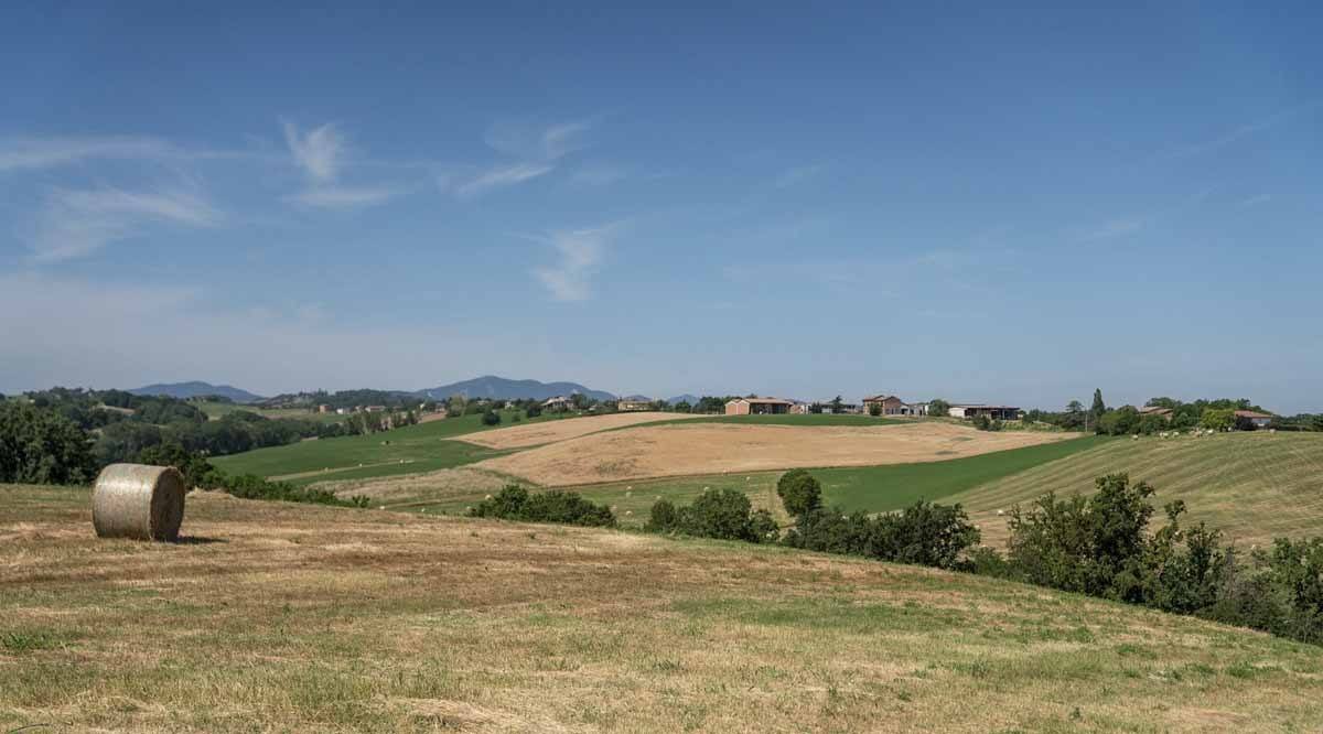
Keep following the path until you reach the small church in Cabriolo. We found a love poem just outside, written on the back of a bus ticket. Then, the path continues uphill, ever so slightly at first, then more noticeably. These are the foothills of the Apennines – the flat, monotone expanse of the Po Valley is finally at an end.
We spent the following two hours walking up and down hills, looking at the agricultural lands we just walked through from above. We walked past homes and farmhouses, passed villages and fields, moving from unpaved dirt road to minor country road, until we reached the village of Costamezzana.
In Costamezzana, the trail climbs steeply until a clearing with hay fields surrounding a stone tower – this is all that remains of Costamezzana Castle, dating back to the 11th century.
This is where our stage ended. From Costamezzana, you can keep going a further 10 km to Medesano, or 20 to Fornovo, where you’ll find places to stay.
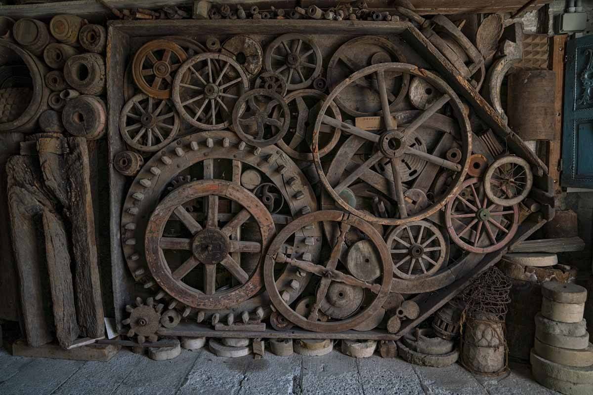
We spent the afternoon visiting the Ettore Guatelli Museum, the former house of a local schoolteacher who amassed an endless collection of seemingly mundane objects, all arranged to maximise visual impact – you’ll focus more on the display than on the single object.
An array of artisan tools, tins, objects in jars, metal signs, toys made with sticks and leaves and so much more are on display – it’s one of the most unique museums we’ve ever seen.
Day 6 – Fornovo to Cassio
Distance: 20 km (6 hours walk)
The stage connecting Fornovo to Cassio is said to be very hard, ‘probably the hardest in Italy’ in the words of Luca, a hiking guide who also works for the Via Francigena association.
So, make sure you are well rested before setting off on this adventure! In Fornovo, don’t forget to pay a visit to the Pieve di Santa Maria Assunta, one of the oldest churches in Emilia-Romagna, first built in the 9th century.

Try to find the bas-relief of a pilgrim on the façade, showing the way to Rome since time immemorial, but also pay a quick visit to the church to see the carved altarpiece representing the martyrdom of Santa Margherita.
The first 3 km of the stage are a little underwhelming – the trail follows a provincial road, so unless you are a ‘purist’ who wants to cover every last meter, we recommend starting to hike in Sivizzano, where you’ll also find a nice hostel.
After Sivizzano, the trail enters a forest, and soon you’ll start climbing. Be ready for a whole lot of climbing today – you’ll be ascending approximately 1000 meters.
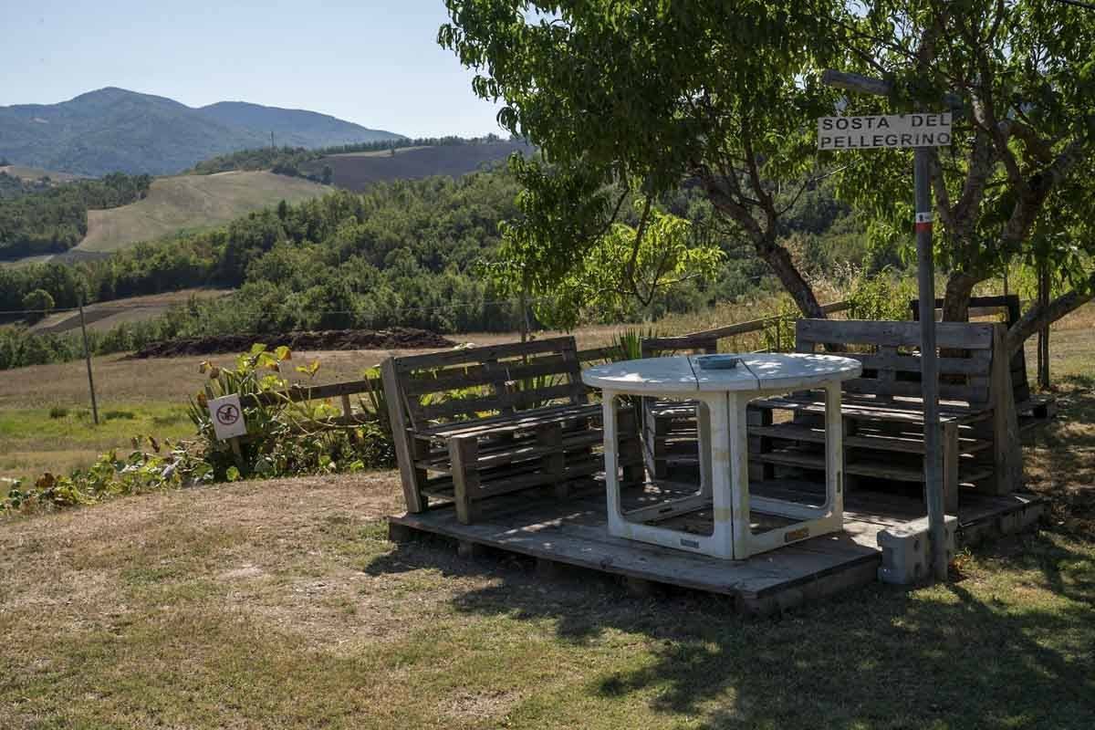
The first climb over the hills will take you to Bardone – if you ask around, you may find somebody willing to open the door to the Pieve for you. Inside, you’ll find Baroque paintings and decorations, and two 13th century slabs with exquisite carvings.
From Bardone, the trail continues climbing, alternating sections along minor roads with views over the surrounding hills, and other sections under the shade of trees. The steepest climb ends in Casola, a tiny village with another church worth checking out if you have time.
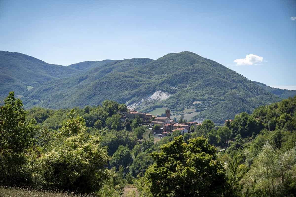
The local campanaro (bell ringer) opened the church and a little break room for us to have lunch – since pilgrims have been in short supply recently, ask around and he might do the same for you. You’ll need some energy to tackle the last challenge, a steep descent through a pine tree forest where we highly recommend using walking sticks if you’ve got them!
The stage ends in Cassio, a small village shaped by the Via Francigena. Unlike most places in Italy, Cassio doesn’t develop in a concentric manner around a square, but longitudinally along Strada Romea, which – yes, you guessed it – is the Via Francigena!
Day 7 – Cassio to Cisa Pass
Distance: 17 km (5 hours)
Where we stayed: Ostello della Cisa
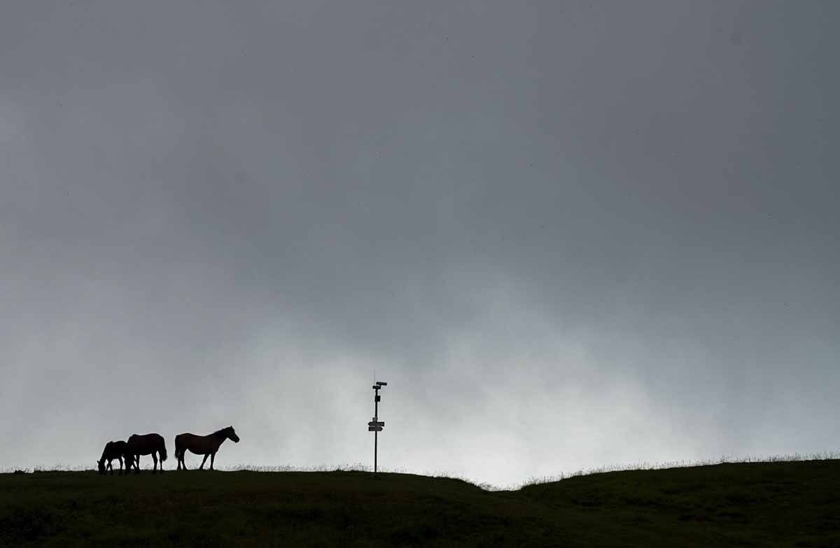
We only had one week to hike the Via Francigena in Emilia-Romagna, so we had to skip the Fornovo-Cassio stage since we had taken a rest day.
Early in the morning, we were picked up from our B&B in Fornovo and driven to Cassio. On the way, we visited the small house of a local man named Pietro Miodini, who turned his home into a small ‘house museum’ full of WW1 items and his own wood-carved creations.
His wife fed us homemade biscuits, still warm from the oven, and he gave us a wood carved whistle, ‘just in case you get lost’.
In Cassio, before heading onto the last stage of the hike, we walked up to Salti del Diavolo, an unusual rock formation located just off the trail – three huge spires, towering over the canopy. They’re unusual, because they’re made of a type of conglomerate rock typical of the Alps, found nowhere else in the Apennines.
Afterwards we continued to Berceto, the last village along the Via Francigena in Emilia-Romagna. The trail follows the road for a bit then enters the woods, crossing small, half abandoned villages. Berceto had a different feel compared to the villages in the Po Valley we visited earlier in the week – it’s surrounded by mountains, with buildings and churches made of stone rather than bricks.
We quickly visited the cathedral, famous for its very own ‘Holy Grail’, a glass goblet from the 9th century AD, found intact in the church foundations while it was being restored.
After leaving Berceto behind, the trail began to climb steeply, climbing towards the pass through the forest. Our guide Antonio was a naturalist and mushroom expert, and entertained us pointing out wild flowers and plants, like wild garlic with its tiny purple flowers.
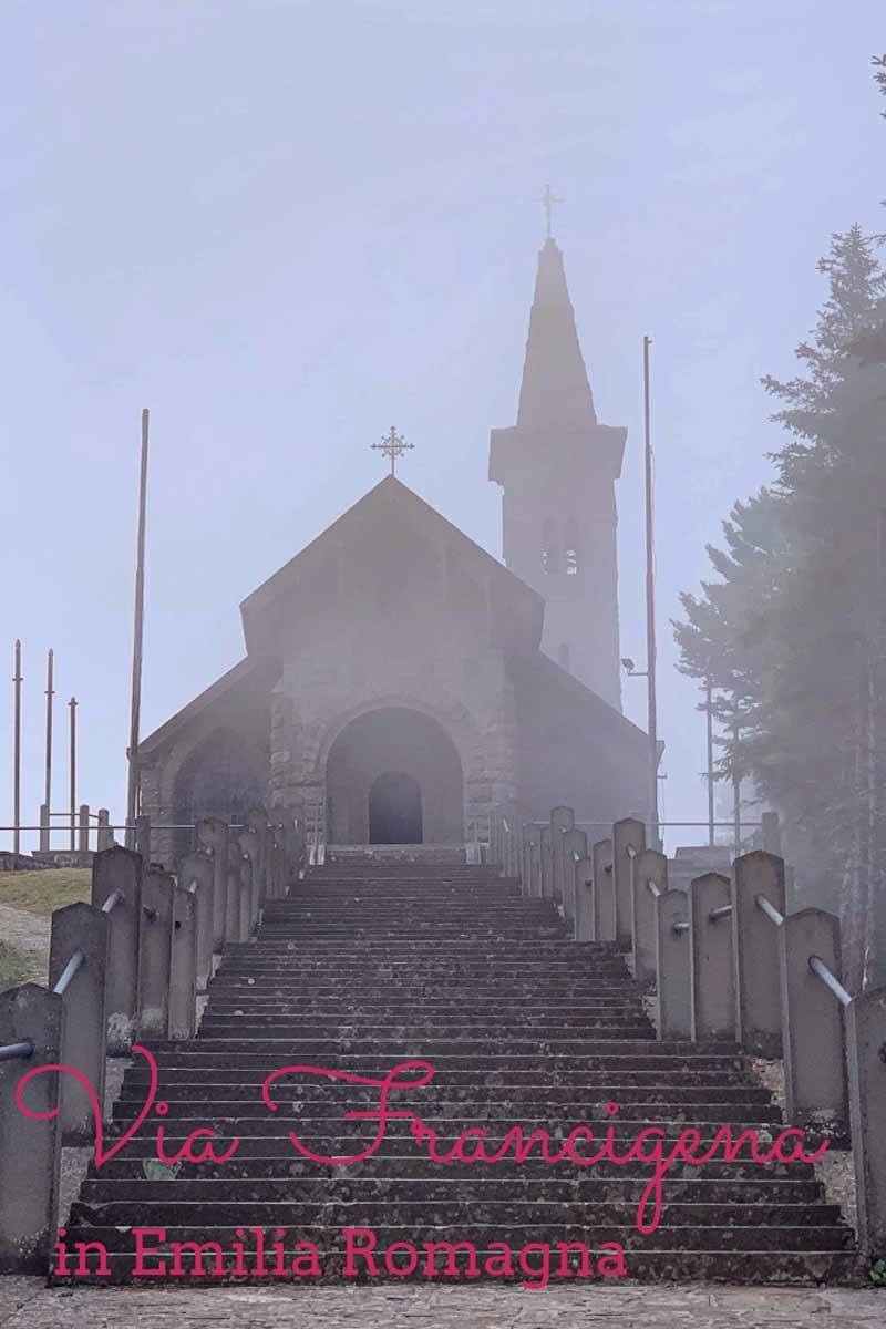
The trail climbs pretty much non-stop until the top of Monte Valoria, 1224 meters above sea level. When we got there, the hot and sunny weather that accompanied for the entire week had been replaced by low clouds and thick fog. Normally the view stretches for miles, across the peaks of the Apennines of Emilia-Romagna and Tuscany, all the way to the Ligurian Sea.
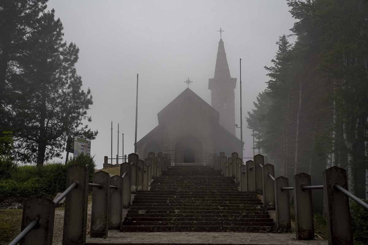
From the peak of Monte Valoria, it’s just a short 20 minutes walk to the Cisa Pass, where you can visit a small church, and cross the arch signalling the end of the Via Francigena in Emilia-Romagna, and the beginning of the Tuscan section.
This is where our hike came to an end – but one thing is certain, we’ll be back to hike all the way to Rome!
Our trip was sponsored by Turismo Emilia-Romagna. We would like to thank Luca, Irene, Elena and all the other members of the Associazione Europea delle Vie Francigene (AEVF), plus all the volunteers, guides and Trail’s Angels who took the time to come and meet us!
Pin it for later?
